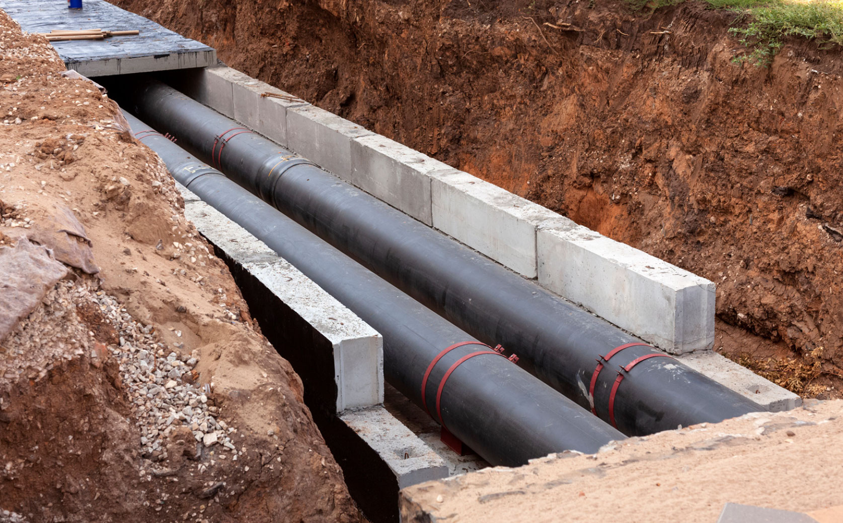
Utilities
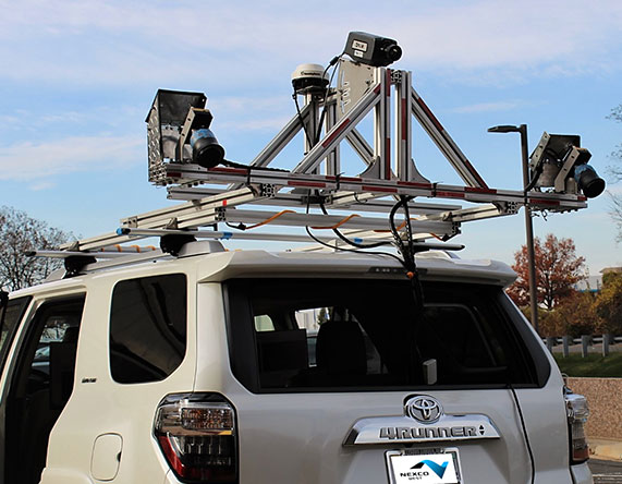
Primarily specializing in the use of step-frequency GPR data, NEXCO analyzes radar data to locate and quantify utility lines, boxes, and related damage. Past focuses feature utility mapping for roadway owners to inform new construction or repair of urgent leaks, voids, and sinkholes. Owners can expect descriptive reports and/or geolocated maps showing features of interest.
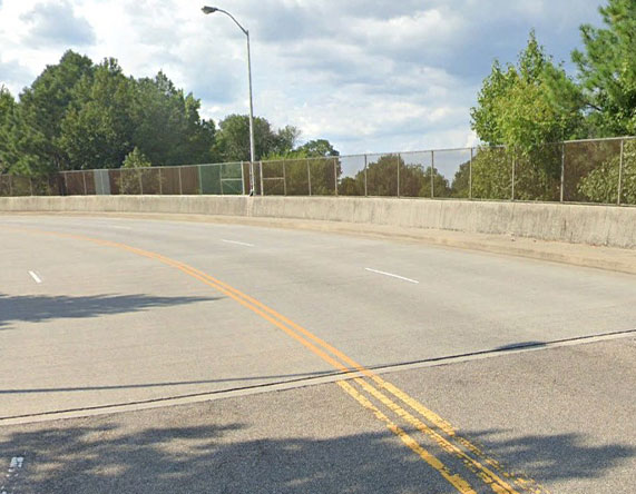
Solution for Transportaion Surfaces
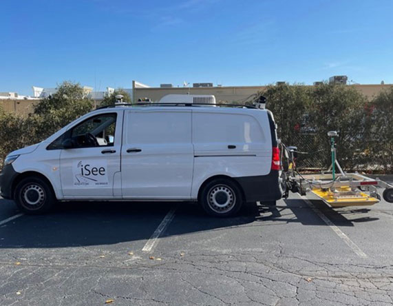
Ground Penetrating Radar
GPR
Related Projects
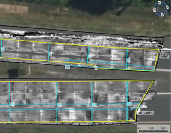
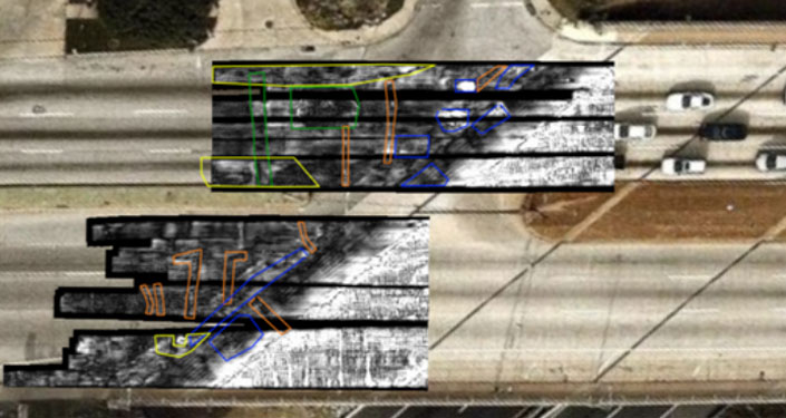
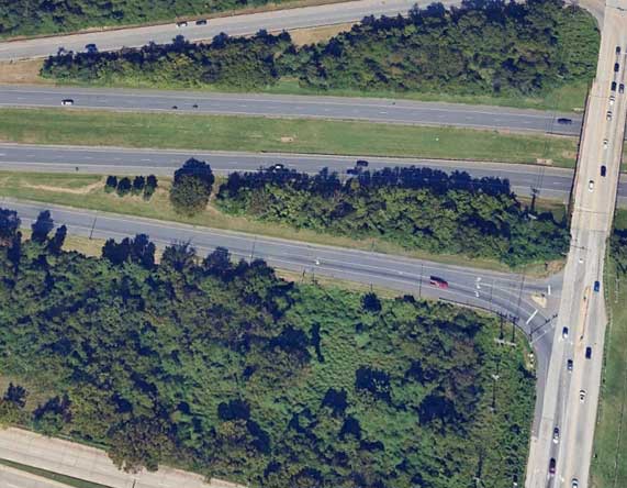
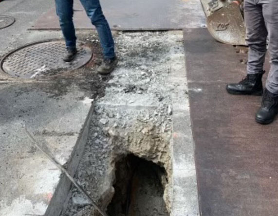
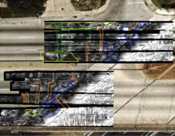
Detection of Subsurface Features in Roadway for New Construction
Maryland 2026
G
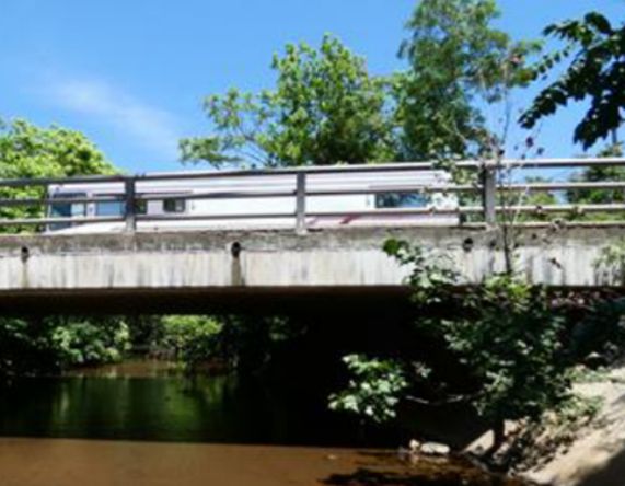
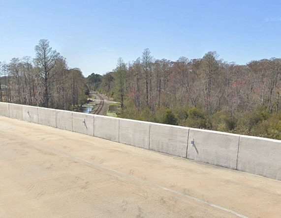
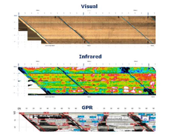
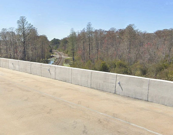
Evaluation of Two County Bridges
Maryland 2026
G
D
MD Interstate Pavement Joint Analysis by GPR
Maryland 2025
G
MD Interstate Pavement Post-Construction Analysis
Maryland 2025
G
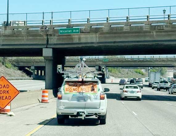
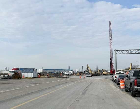
Innovation Demonstrations Pilot Project
Minnesota 2025
D
G
Deterioration Mapping for City Bridges
Maryland 2025
D
G
Emergency Sinkhole and Utility Investigation with GPR
Washington, DC 2024
G
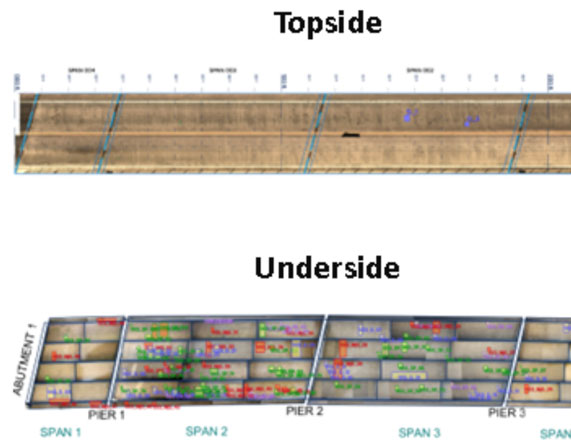
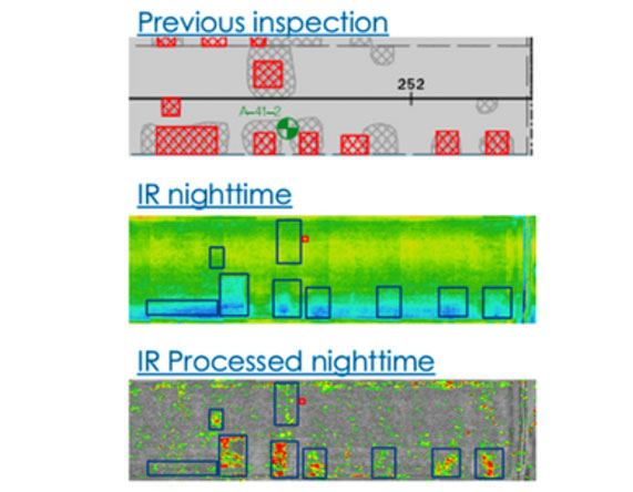
Infrared and GPR Analysis of 53 Bridges
Baltimore, MD 2024
D
G
Roadway Pavement and Subsurface Utility Analysis
Columbia, MD 2024
G

IRT and GPR Validation of Asphalt-Covered Bridge Deck
Hyogo, Japan 2023
D
G
Bridge Cover Depth Mapping by GPR
Chocowinity, NC 2023
G
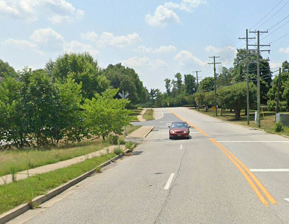
GPR Roadway Scanning
Peoria, IL 2022
G
Scanning of 2 Bridges and Culvert by GPR
Hopewell, VA 2022
G
Analysis of 12 Approach Slabs
Baltimore County, MD 2022
G
Condition Evaluation for 71+ Bridges
Baltimore County, MD 2022
D
G
Cover and Slab Thickness Measurement by GPR
Childs, MD 2021
G
Infrared and GPR Bridge Scanning
Baltimore, MD 2021
D
G
Infrared and GPR Scanning of Large Bridge
Chesapeake Bay, MD 2021
D
G